Use the map for more information about this location and discover places nearby.
Address: Reddingsweg 17, 9166 PD Schiermonnikoog, Netherlands | Coordinates: | Open in Google Maps
Total locations
612
Loading map..
Sites nearby
Sites within 80 km radius of Reddingsweg 17, 9166 PD Schiermonnikoog, Netherlands.
Bunkers & Fortifications
Wassermann S - Regelbau L480, German Radar bunker - Schiermonnikoog, The Netherlands
Museums
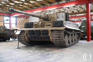
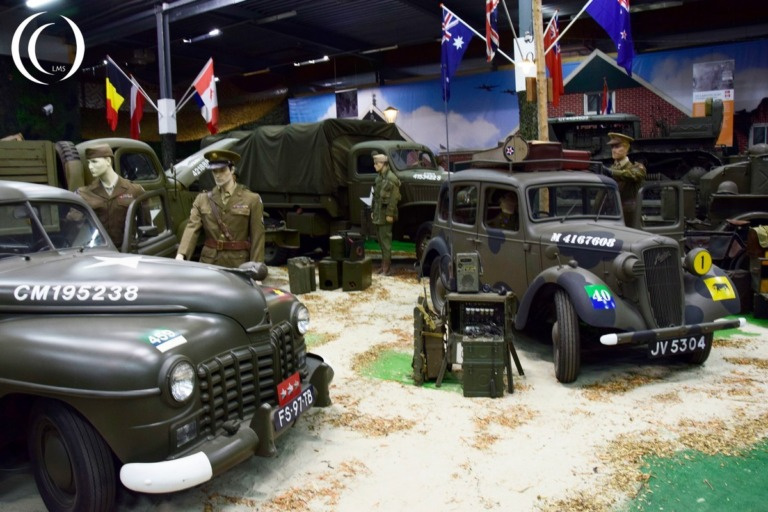
Victory Museum - Grootegast, Netherlands
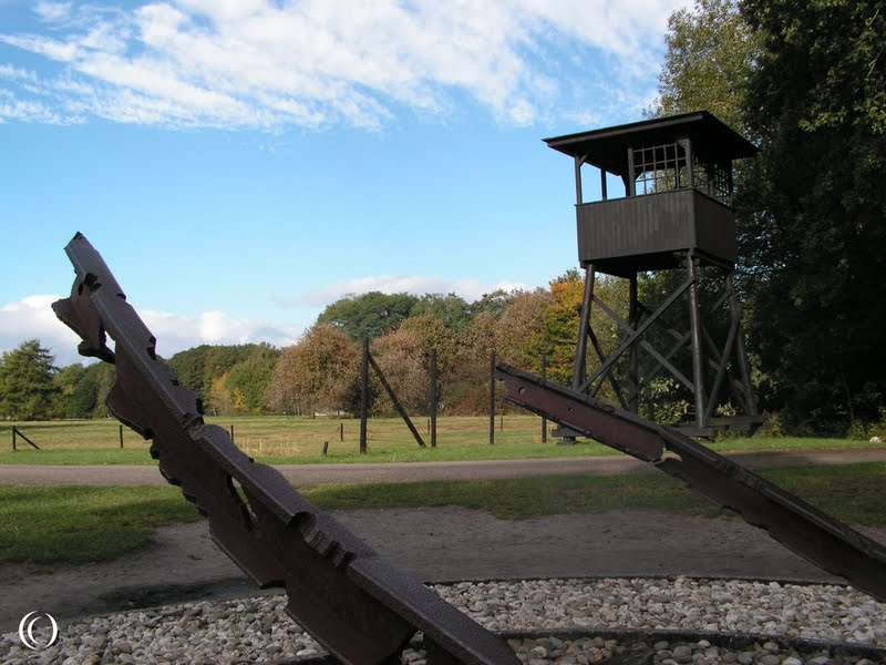
Labour & Concentration Camps
Transit Camp Westerbork, Netherlands
Monuments
Canadian War Monument - Winschoten, Netherlands

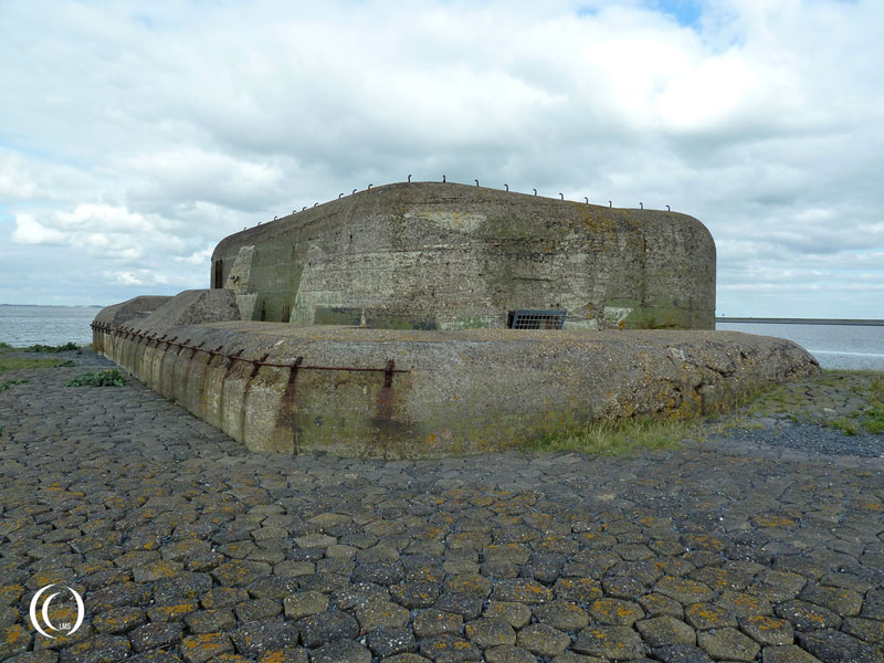
Bunkers & Fortifications
Hochbunker Holzsägerstraße Emden - Civilian Air Raid Shelter Emden, Germany

Museums
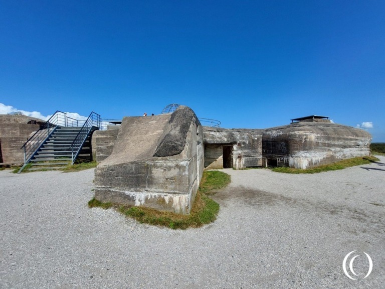
Kazemattenmuseum Kornwerderzand - Afsluitdijk, the Netherlands
Bunkers & Fortifications
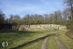
Stelling Kornwerderzand - Afsluitdijk, the Netherlands

Monuments