Use the map for more information about this location and discover places nearby.
Address: Industrivej 18, 6840 Oksbøl, Denmark | Coordinates: | Open in Google Maps
Total locations
642
Loading map..
Sites nearby
Sites within 80 km radius of Industrivej 18, 6840 Oksbøl, Denmark.
Labour & Concentration Camps
The largest refugee camp in Denmark - Oksbøl Varde Denmark
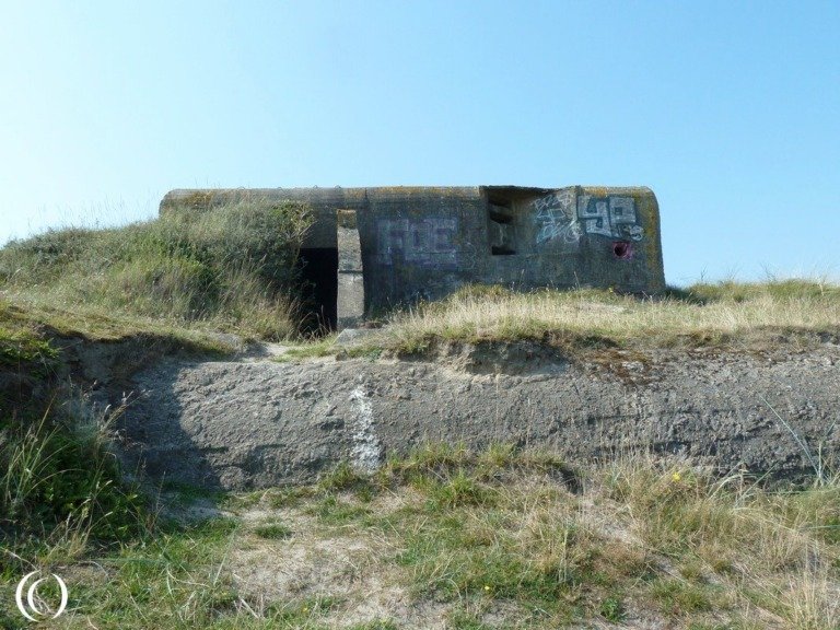
Bunkers & Fortifications
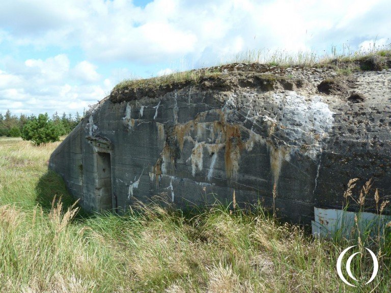
Stutzpunkt Börsmose-Dorf - Børsmose, Denmark
Bunkers & Fortifications
Tirpitz Museum, Kriegsmarine Coastal Battery Vogelnest - Oksby, Blåvand Denmark
Bunkers & Fortifications
Atlantic Wall Position Hennestrand - Vejersstrand - Denmark
Bunkers & Fortifications
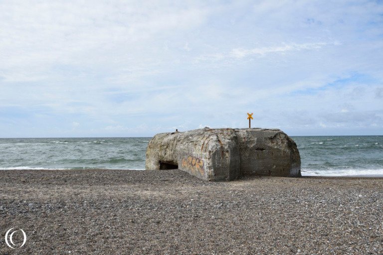
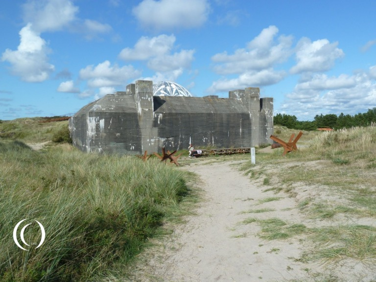
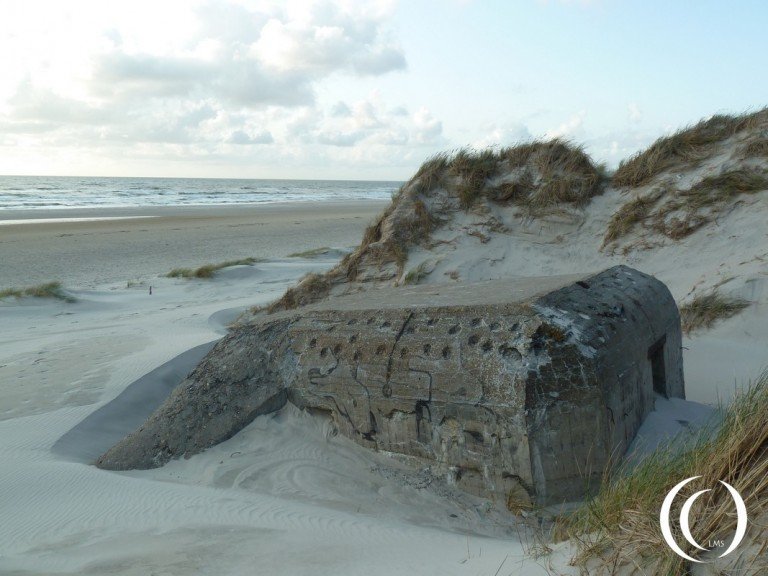
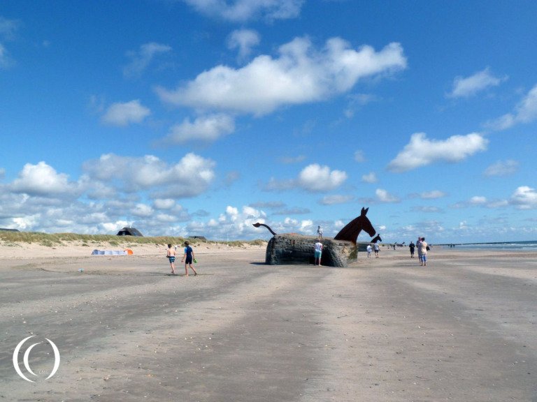
1. Stellung Blavand - Bunker Mules, Blavand Beach - Denmark

Bunkers & Fortifications
M.Fl.B. 3./204 Marine Flakbatterie Fanø Nord – German 10,5 Anti-Aircraft Battery - Fanø, Denmark
Bunkers & Fortifications
M.K.B. 2./518 Marine Küstenbatterie Gneisenau – German Coastal Battery – Fanø, Denmark

Bunkers & Fortifications