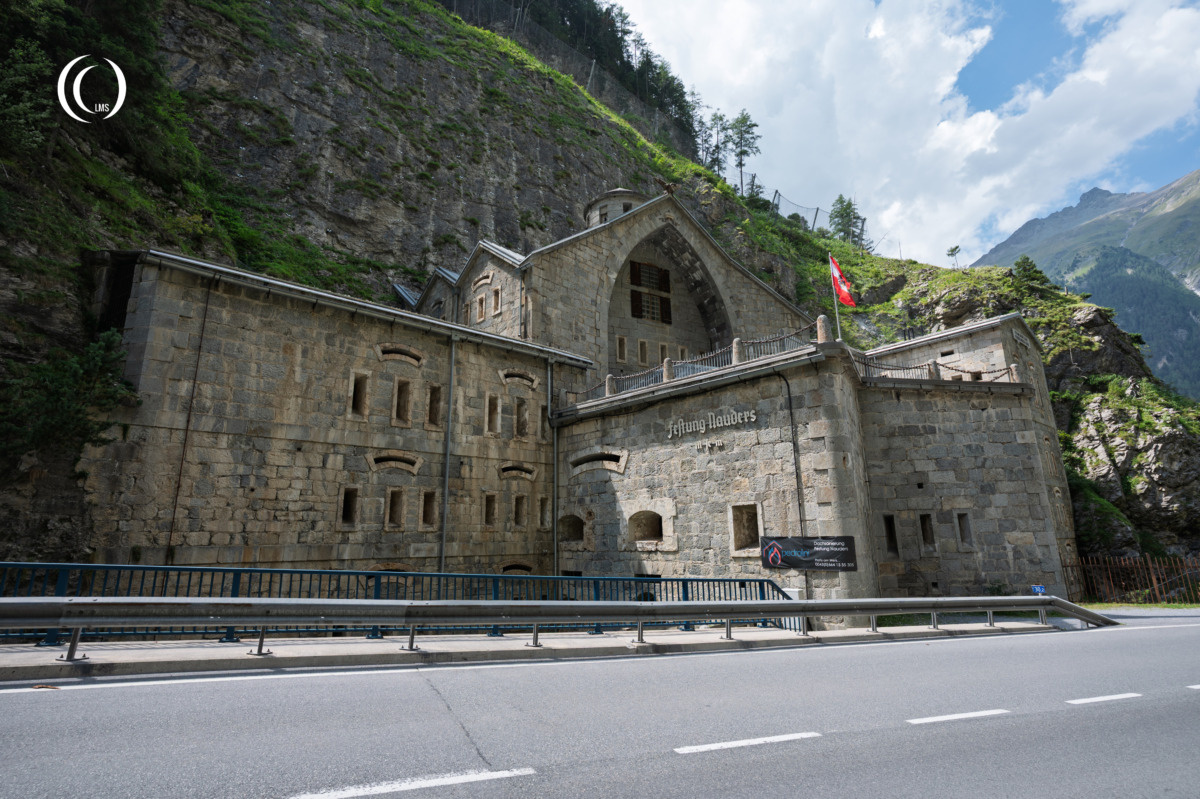
Festung Nauders (Eng: Nauders Fortress), also known as the Hochfinstermünz Barrier or Sperre Nauders, is a 19th-century Austrian mountain fortification located in the Alps close to the Italian and Swiss borders. Built into a steep rock face between 1834 and 1840, the fortress was designed to control the strategically important road crossing the Alps through the Reschen Pass from Italy into Austria and to protect the southern approaches to Tyrol. It formed part of the Austrian defensive system when it was still part of the Austro-Hungarian Empire (1867-1918) at a time when conflict with forces from Lombardy, Italy, or the Engadin Valley, Switzerland, was considered a serious possibility.
Construction
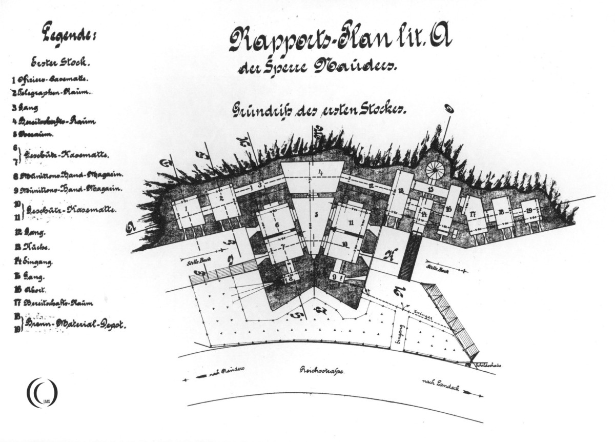
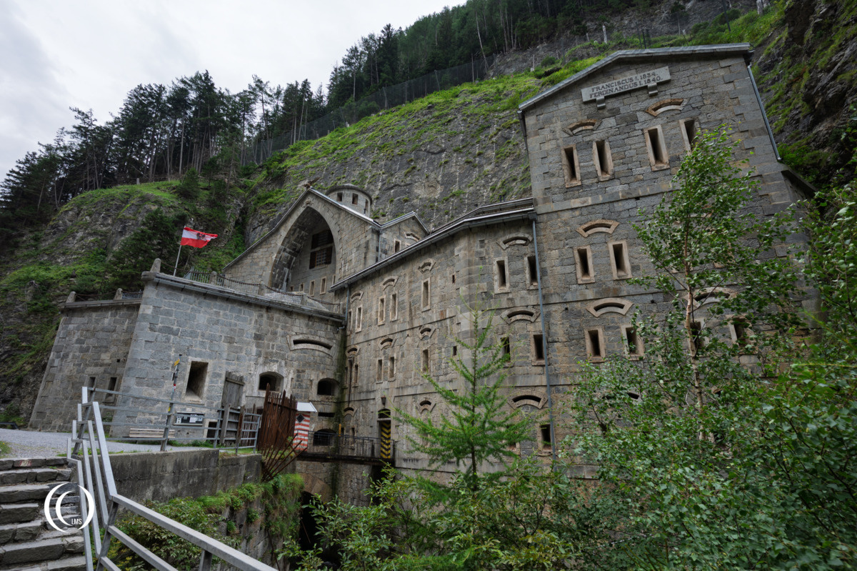
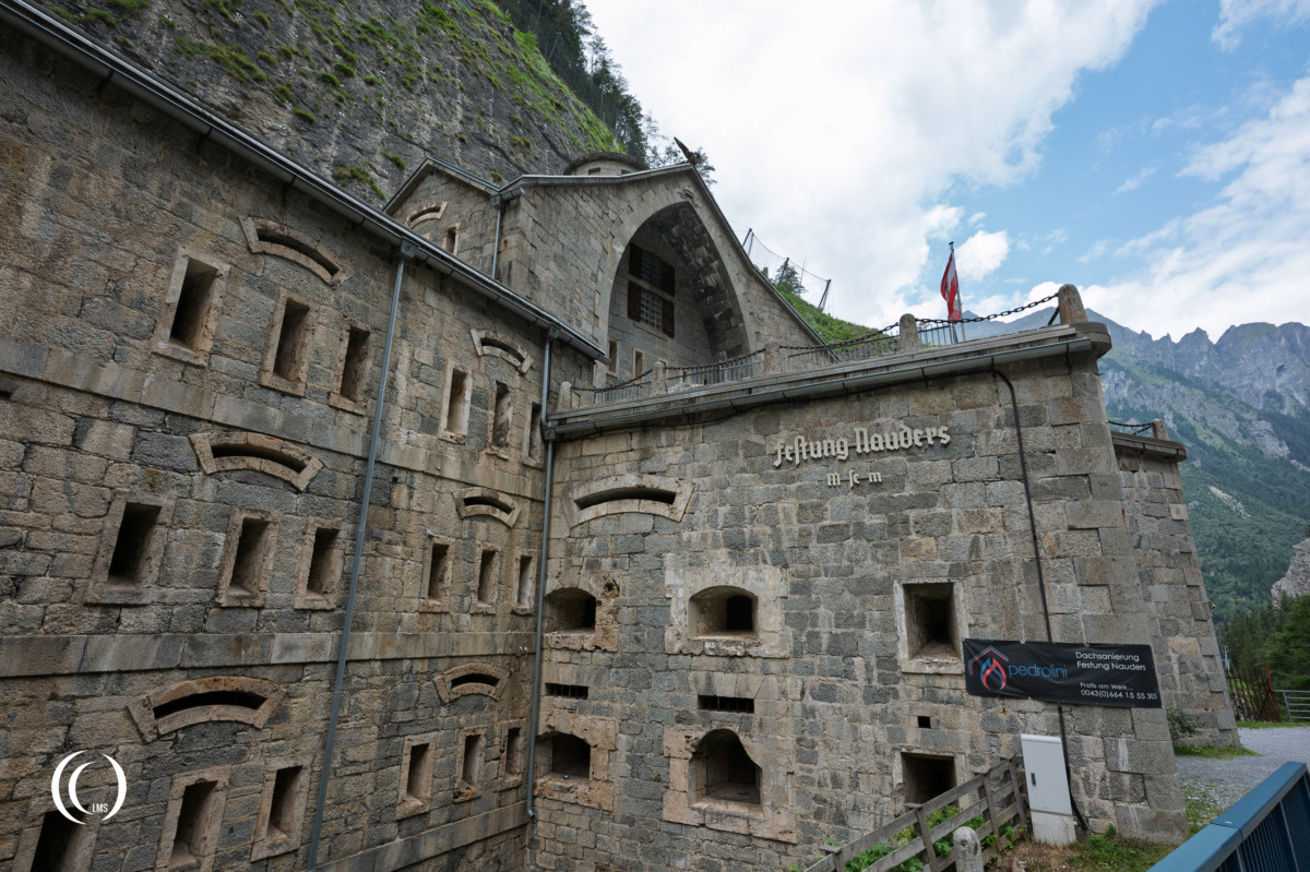
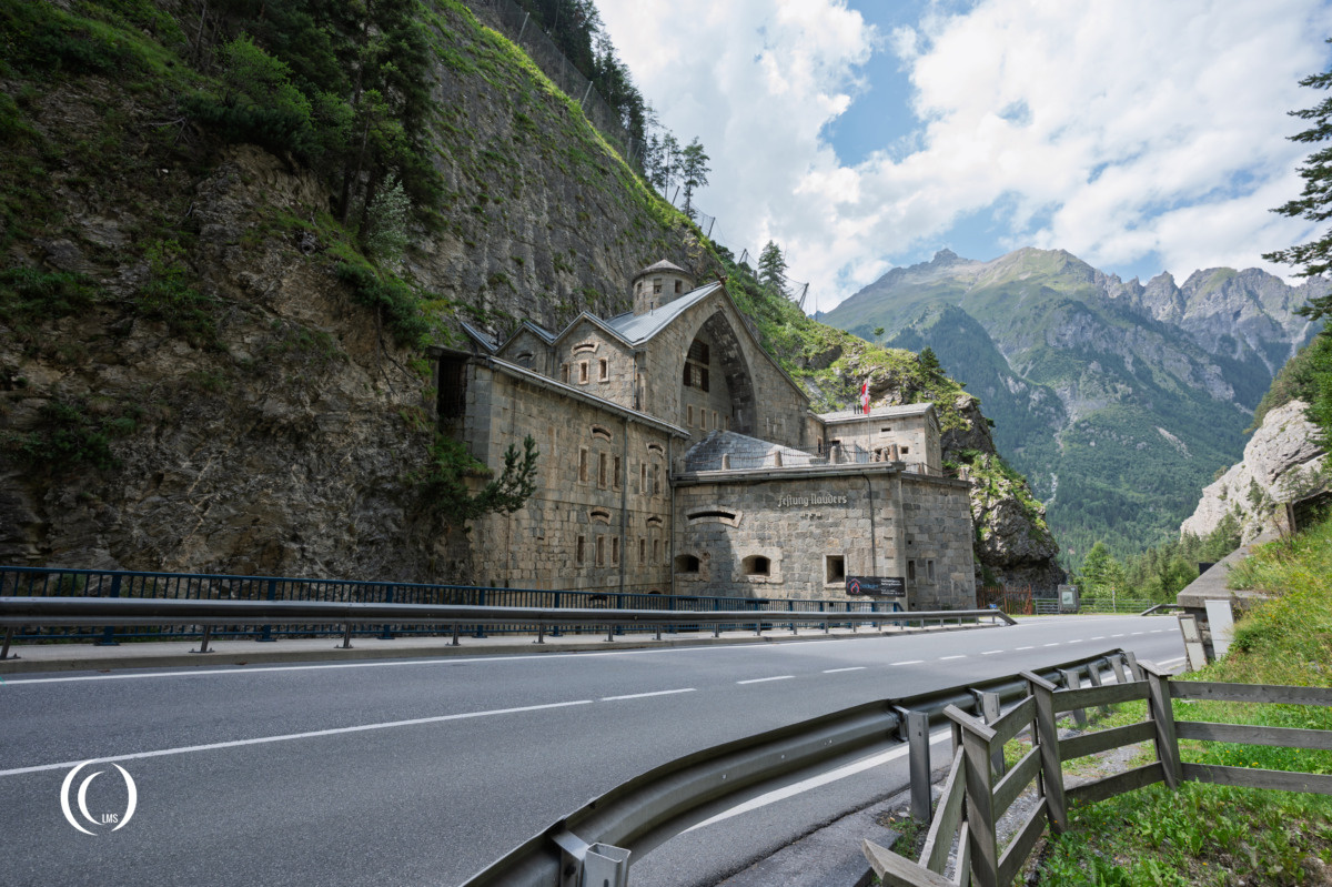
The fortress is a massive, five-floor structure built from large natural stone blocks. With a total of 70 rooms, it digs 20 metres deep into the mountain. Its position was carefully chosen to allow the road through the pass to be blocked and defended with artillery and small arms. The building incorporated gun positions, ammunition magazines, storage areas and accommodation for the garrison. A bronze double-headed eagle, the heraldic animal of the Austro-Hungarian Monarchy, looks out from the gable of the steep pitched roof.
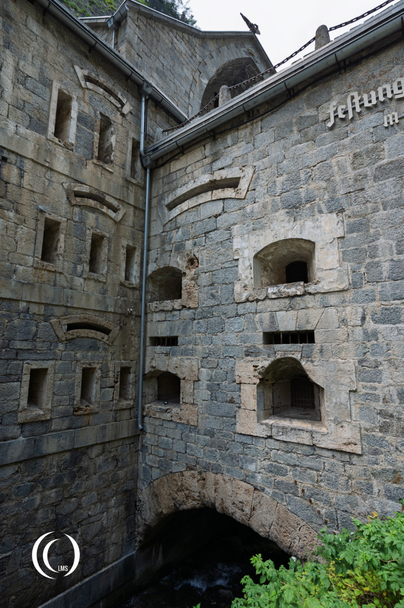
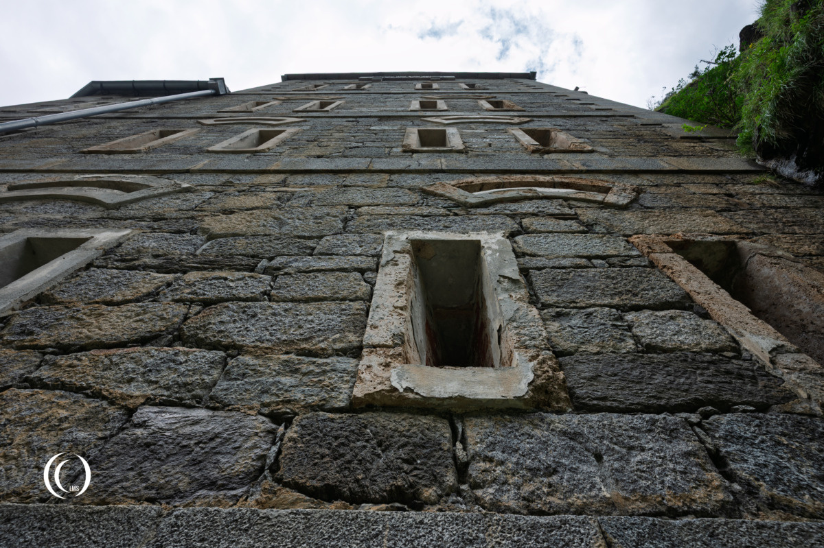
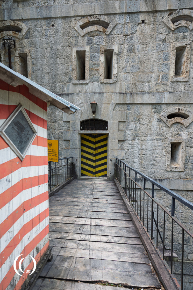
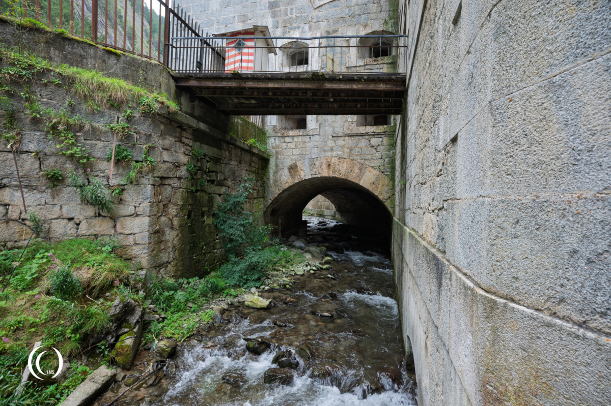
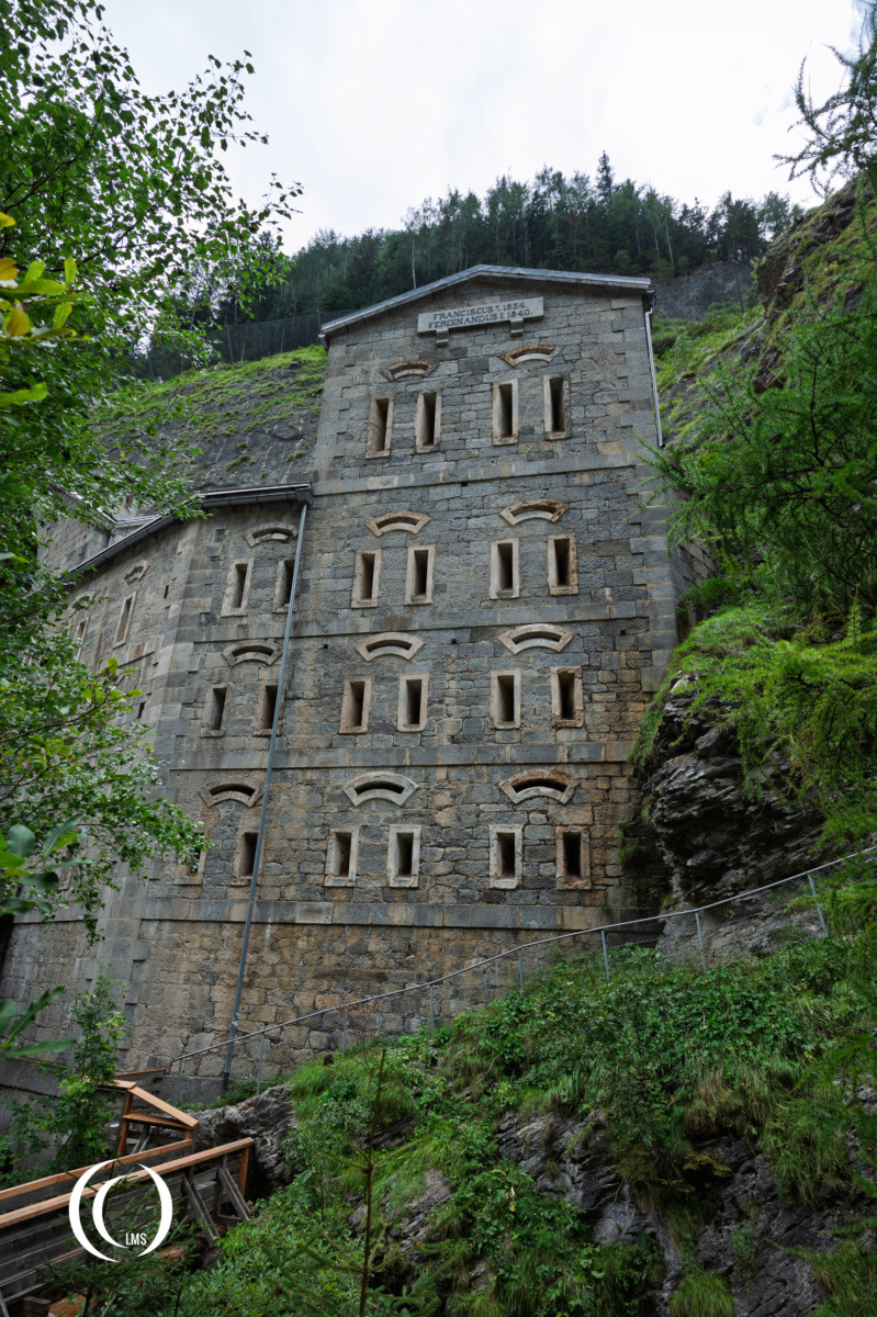
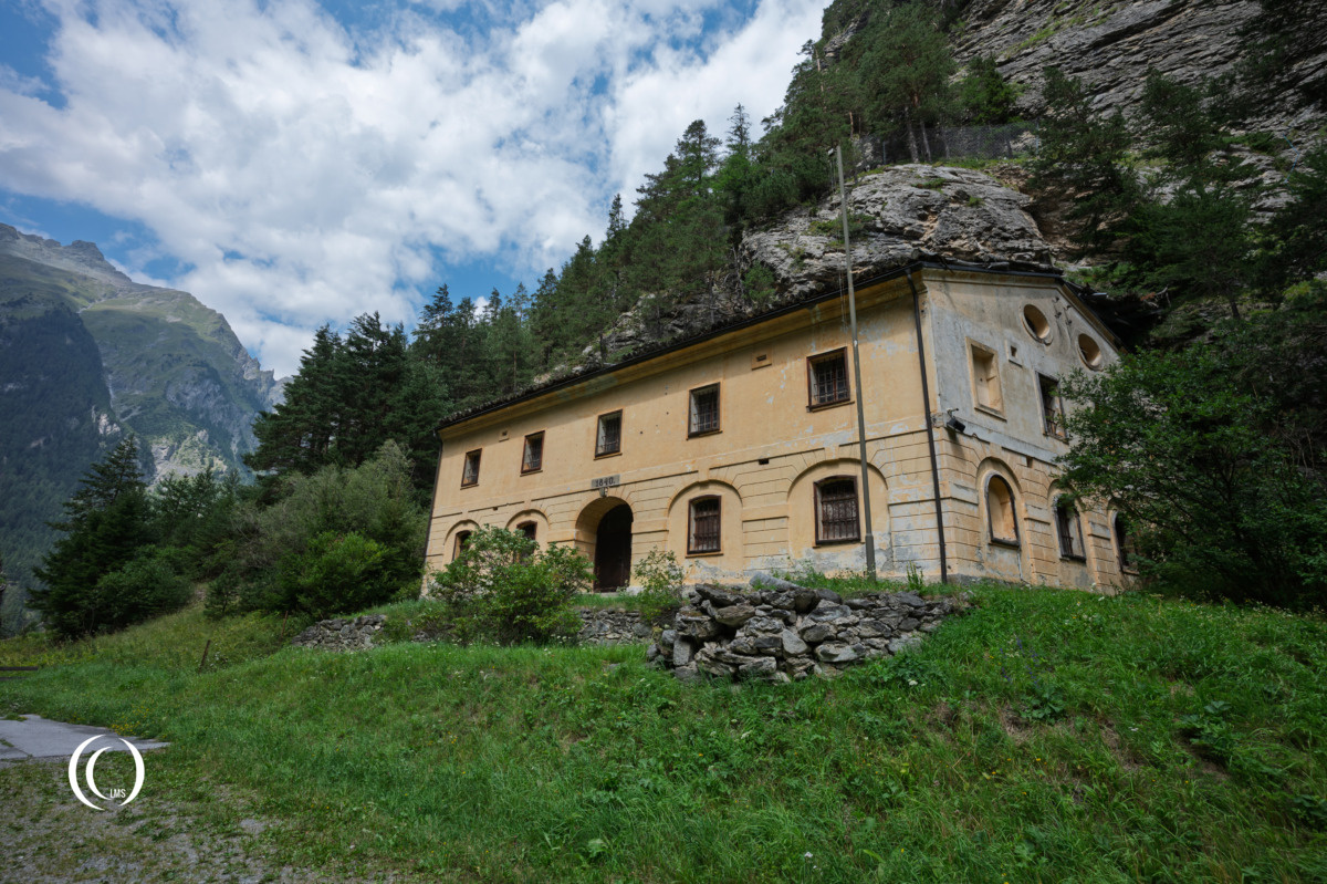
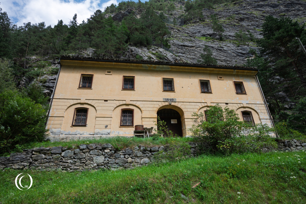
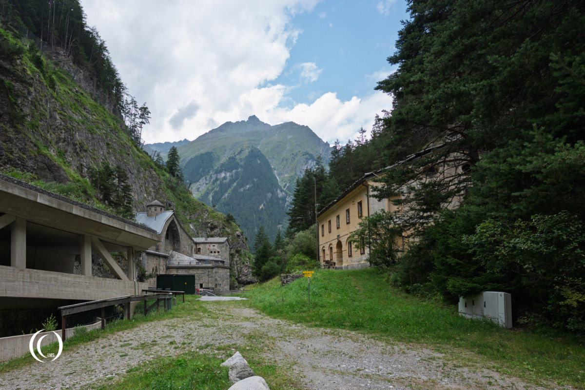
Across the road stood the associated peace-time barracks, while older defensive works, including sections of the medieval Niklasmauer, were incorporated into the wider defensive landscape.
WWI
Although built as an important military installation, the fortress never experienced the major battle for which it was designed. Its strategic importance nevertheless continued into the 20th century, when the surrounding area was equipped with additional military positions and bunkers.
During the First World War, from 1915 onwards, the fortress was last maintained in a state of readiness for defence, with a garrison of up to 87 men. The projecting section of the facade overhanging the Stille Bach stream to provide flanking fire was armed with 8 cm M-94 Austro-Hungarian casemate guns (Germany: Kasemattkanone) placed in special casemate mounts.
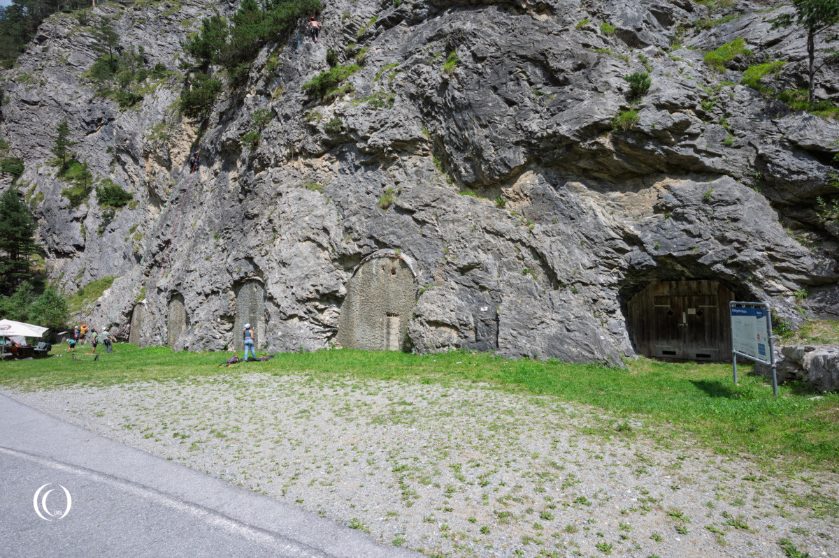
Military positions were constructed on the Sellesköpfe (1,650 m) above Nauders Fortress. These included communication and trench systems, forested areas were cleared to provide an unobstructed field of view, barbed-wire obstacles were erected, and shelters were excavated into the rock to provide accommodation. These positions were intended as a fallback in case Italian troops managed to break through the front at the Ortler (3,905 m) or the Stelvio Pass (2,757 m). As this never happened, the positions were never actually used.
WWII
During World War Two the now outdated fortress was of little strategic value due to the annexation of Austria into Nazi Germany’s Third Reich in 1938 and its alliance with Italy.
Post war
After the German surrender at the end of World War Two, North Tyrol and Vorarlberg became part of the French occupation zone in Austria on July 19, 1945, under the supreme command of General Antoine Béthouart. During the occupation the French forces used Festung Nauders as a military depot. After the French troops withdrew from Tyrol and Vorarlberg in October 1955, the fortress was handed over to the Austrian Federal Army, which abandoned the property as a military installation in 1970, although it continued to operate bunker systems and fortifications in the vicinity until the 1990s.
Military museum
Today, Festung Nauders is regarded as the only completely preserved Austro-Hungarian fortification of its period. The building has been converted into a military museum, preserving its architecture while presenting the military and transportation history of the Reschen Pass. The fortress offers a striking example of how the geography of the Alps shaped military strategy: a single narrow road through the mountains could be protected by a heavily fortified position.
Kaiserschützen Weg – Memorial Path
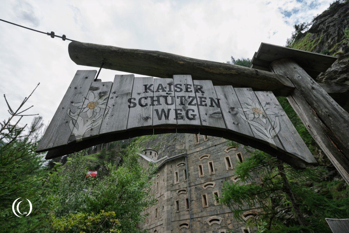
A path leading from Nauders Fortress provided access to the defensive positions on the Sellesköpfe. In memory of the many victims of the First World War, this path, measuring 2.5 km in length with an elevation gain of 500 m, has been restored. It was given the name Kaiserschützen, in memory of the military mountain unit of the same name that existed to defend Tyrol until the end of the First World War.
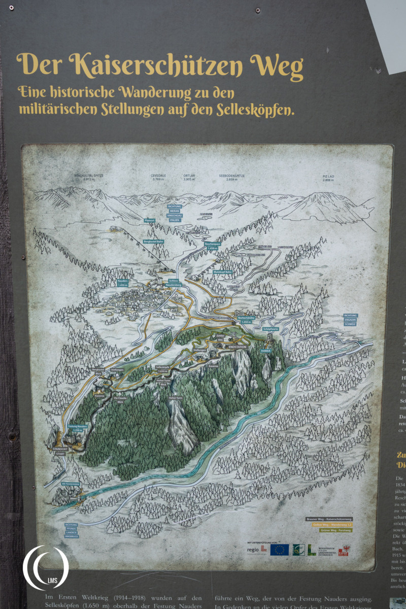
Information panels along the path provide an insight into the history of the Kaiserschützen, describing their deployments and recounting events from that period.
Visit
Nauders Fortress is managed by the Nauders Museum Association, a volunteer organisation, which also conducts regular guided tours of the forts’ interior. Always check ahead of your visit for the tour schedule and other information.
You can combine your visit with the nearby Panzermuseum.
For easy parking we recommend the area opposite of the road from the Fortress, where the small Panzermuseum is located. Use the road exit on the South side of the avalanche tunnel, pass the bridge over the Stille Bach stream at the recycle station and follow the road to your left. You can also use this short code in your navigation system: WF6W+G6, 6543 Partitsch, Austria.
Sources
- www.showcaves.com/english/at/subterranea/Nauders.html
- www.burgenwelt.org/oesterreich/nauders/
- Wikipedia
